Good Morning. This is Doug Chabot with the Gallatin National Forest Avalanche Advisory issued on Wednesday, December 1, at 7:30 a.m. Alpine Orthopedics, in cooperation with the Friends of the Avalanche Center, sponsor today’s advisory. This advisory does not apply to operating ski areas.
A trace to one inch of snow fell last night with temperatures in the teens in the north and single digits down south. Westerly winds have been steady at 15-25 mph and will continue throughout today. Moist air pushing in from the Pacific will keep skies cloudy and provide limited snow showers. For the next 24-hour period I’m expecting a trace to one inch of new snow. Mountain temperatures should rise into the high teens with westerly winds.
The Bridger, northern Gallatin and northern Madison Ranges:
I’m twitching as I write this because I’m so excited to report good news. The snowpack is generally stable. These are five words I could not write anytime last winter. But in the mountains from Big Sky to Bozeman to the Bridger Range, we are not finding persistent weak layers in the snowpack. Of course there’s a caveat to all this: wind-loaded slopes. Pillows of drifted snow will continue to be a concern, although the instabilities are confined to the ridgelines. The Big Sky Ski Patrol was able to trigger these hard slabs with explosives, but they did not involve older snow.
Yesterday, Mark and I plus former GNFAC forecaster Scott Schmidt skied Saddle Peak in the Bridger Range. The winds were blowing strong, but not moving much snow. We were on the hunt for instabilities and after two snowpits without a clean fracture and stable test results we concluded that things were looking better than we’ve seen in years. We took a few photos from the day and also made a YouTubeabout the stable conditions. Folks on Mount Ellis in the northern Gallatins found very similar conditions which also mirror observations around Big Sky.
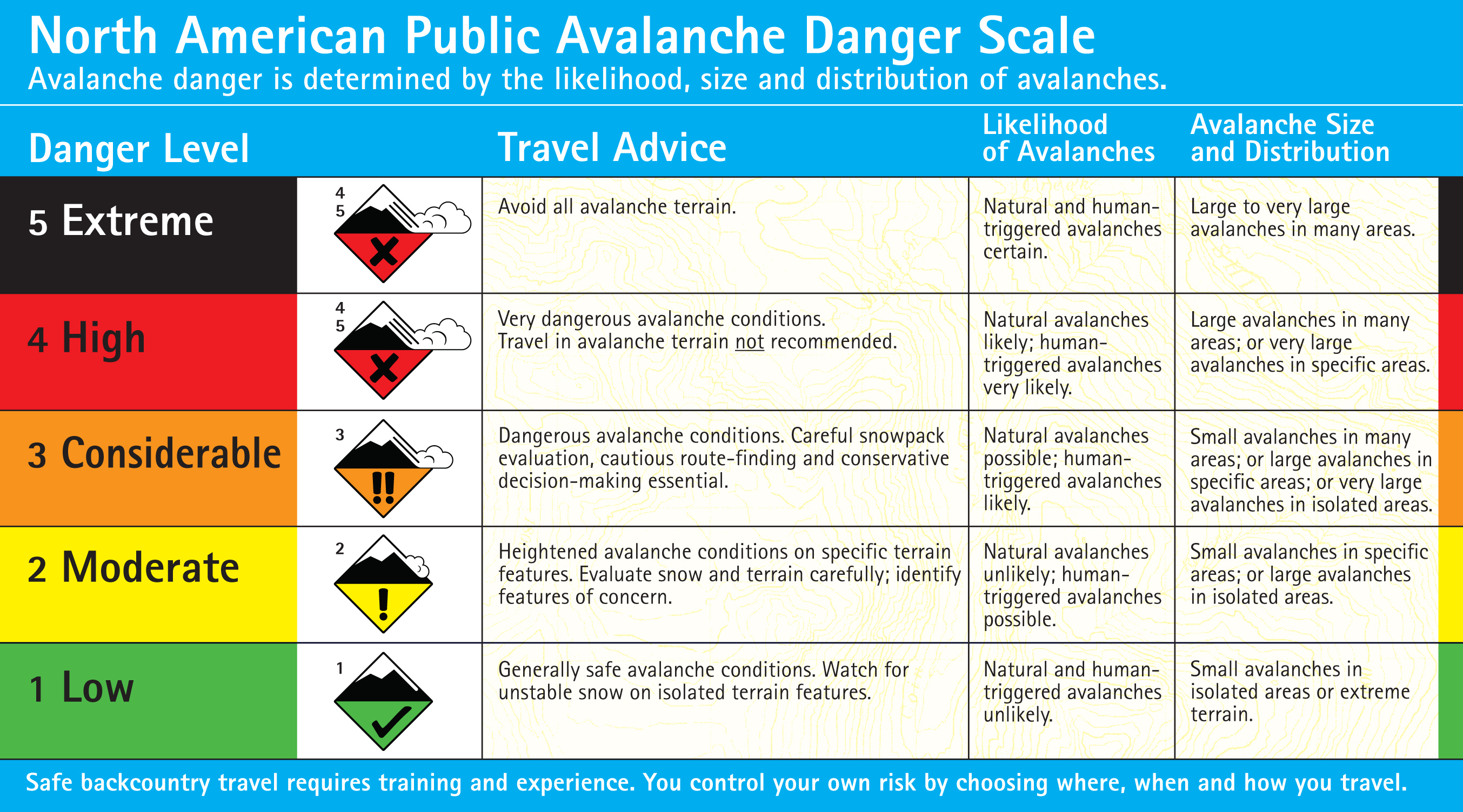
Because there’s no persistent weak layer, the snowpack is “right side up” (denser snow at the ground) and the only avalanches have been on slopes with wind drifts, I’m concluding that the avalanche danger is rated MODERATE on all wind-loaded terrain and LOW everywhere else. A low danger does not mean no danger. The North American Avalanche Danger Scaledefines Low as “Generally safe avalanche conditions. Watch for unstable snow on isolated terrain features.”
The southern Gallatin and southern Madison Rangers, the Lionhead area near West Yellowstone, the mountains around Cooke City and the Washburn Range:
From our limited field data around West Yellowstone and Cooke City the 3-4 foot deep snowpack is starting to paint a picture of mostly stable snow. Multiple parties of skiers in the southern Madison Range reported good stability. Snowmobilers and skiers outside Cooke City also found good conditions on slopes not affected by the wind. Fresh, wind-loaded slopes near the ridges are still the biggest stability concern. A couple small, natural wind slabs released over the weekend near Cooke City, but these were not widespread.
Because of our lack of data points in the southern mountains I’m being conservative in my stability assessment. For today, the avalanche danger is rated MODERATE on all slopes.
Mark will issue the next advisory tomorrow morning at 7:30 a.m. If you have any snowpack or avalanche observations, drop us a line at mtavalanche@gmail.com or call us at 587-6984.
Upcoming Avalanche Education
Tonight:
Basic Avalanche Awareness – Tonight & Thurs, December 1 & 2, 7:00pm – 9:30pm at SUB Ballroom B&C; 12/4- Field day at Bridger Bowl (more information) (Prepay)
Avalanche Awareness for Snowmobilers – Tonight & Thur, December 1 & 2, 7pm – 9:30pm at Team Bozeman, 2595 Simmental Way and a field session Dec 12th (more information)
Next Week:
1hr Avalanche Awareness - Tue, December 7, 6:30pm – 7:30pm @ REI Bozeman
Join Lucas Zukiewicz from the Montana Snow Survey for a FREE presentation/discussion on the SNOTEL system in SW Montana. The discussion will cover how to access SNOTEL information and interpret the data for snow and weather conditions. Sat, December 11, 7:30pm – 8:30pm at World Boards.