Snow Observations List
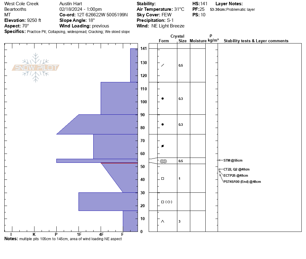
Toured west of Cole Creek outside RLM boundary. Experienced multiple collapses and cracking. Unsupportable surface with facets at the base of snowpack. Stability tests resulted in multiple ECT with propagation. Dug pits in location with previous wind loading HS=141, not as deep on adjacent aspects.
No natural avalanches observed. See attached snowpilot profile.
Full Snow Observation Report
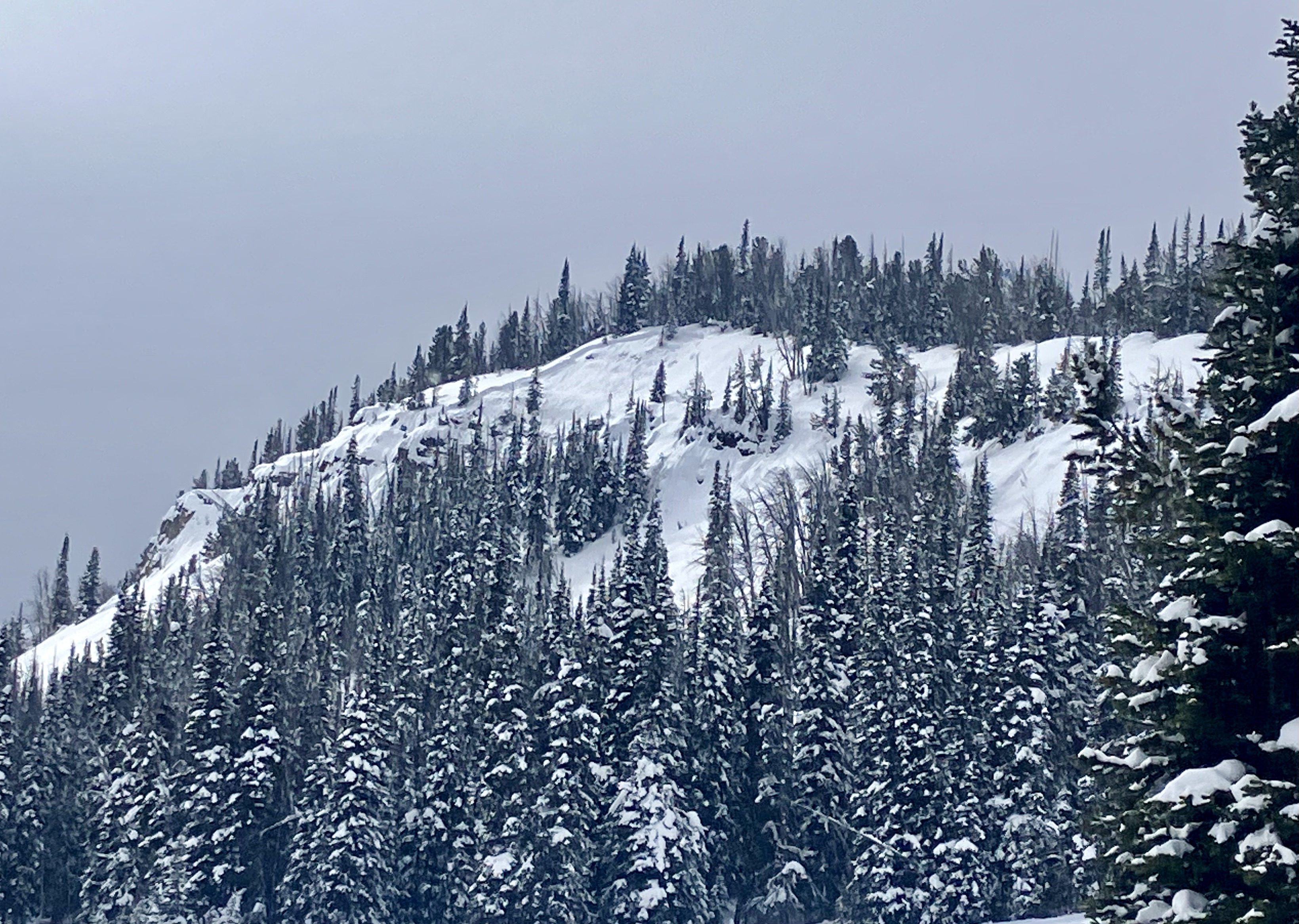
Toured up to Flanders today. Variable snow but stable conditions on the main route to the SE Bowl. Large natural avalanche on the NE face south of Flanders.
Full Snow Observation Report
NE aspect, 7400 ft. ECTP 14. PST 25/100
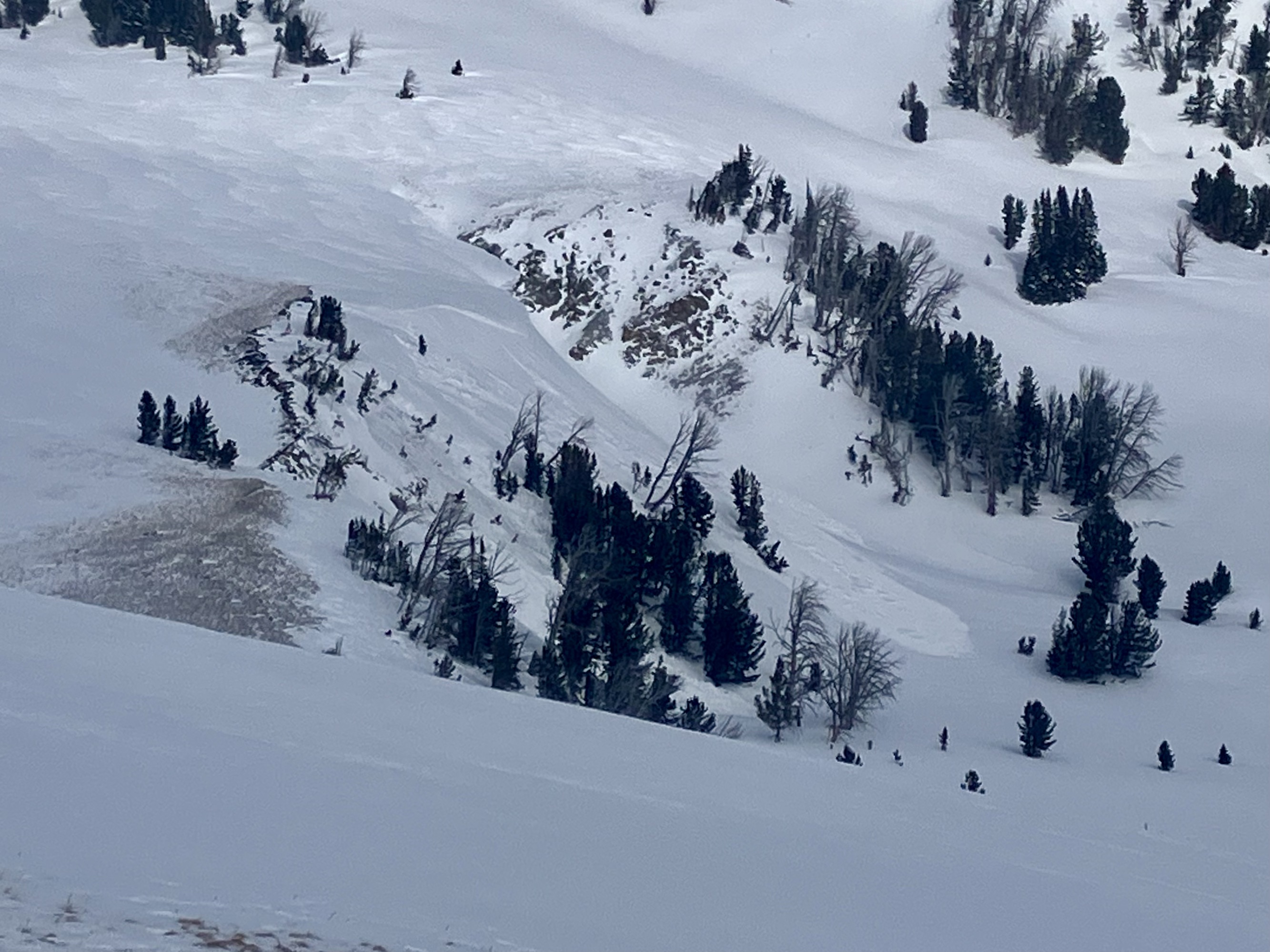
Full Snow Observation ReportWe rode out Buck Ridge to Muddy Creek and towards Cedar Mtn.. We went to look at the large avalanches riders remotely triggered yesterday. In addition to three previously reported avalanches, we saw at least eight recent avalanches that were not previously reported and appeared to have occurred at various times over the last 1-3 days, natural and/or remote triggered by riders. A group in the parking lot mentioned seeing many slides actively happen in this area on Friday, and a couple slides looked crisp enough to have occurred within the last 12-24 hours. We saw at least six recent slides in Muddy Creek, two in McAtee Basin, and one in Second Yellow Mule. Most were 2-3' deep hard slabs, ranging from 50'-500' wide.
We also saw a fresh avalanche that we either triggered from 750-800 feet away or it broke naturally. This avalanche happened when we were riding near the larger of the two avalanches from yesterday, on the south side of Cedar Mtn. When we regrouped at the base of the recent avalanche I was scanning all the nearby slopes and did not see any fresh avalanches, and noted a huge cornice on a low convex slope. We then rode up and parked near the top of yesterday's slide, and Doug noticed a fresh slide on the slope I had just been starring at. It was a wind-loaded slope, actively loading. The avalanche was ~130' wide with 100' of 4-12" deep new snow/wind slab and 30' wide broke almost 3 feet deep on weak snow near the ground.
Skies were overcast to partly sunny. Wind was light to moderate from the southwest-west. It snowed lightly on and off all day. There was about 1" of new snow at noon at 9,000'.
All the recent large avalanches and a freshly triggered avalanche are clear signs that the snowpack is dangerous and people should avoiding riding on and below steep slopes.
Full Snow Observation Report*My bet is the slide we "triggered from [800] feet away" was a natural, due to the wind-loading last night and actively loading while we were there... Will we ever know? No, and it hardly matters...
DC: We are calling it a "natural remote trigger", a new designation. An ISSW paper is forthcoming.


From IG 2/18/24: “Human triggered slides in cooke yesterday.”
Full Snow Observation ReportI don’t think these made it to the web, photos and activity… sent from IG on Sunday… Please post if you have a chance, or I will when I can. -Alex

From IG: 2 avalanches from either this morning or yesterday at the bottom of Skyline ridge 2’ at the crown
Full Snow Observation Report
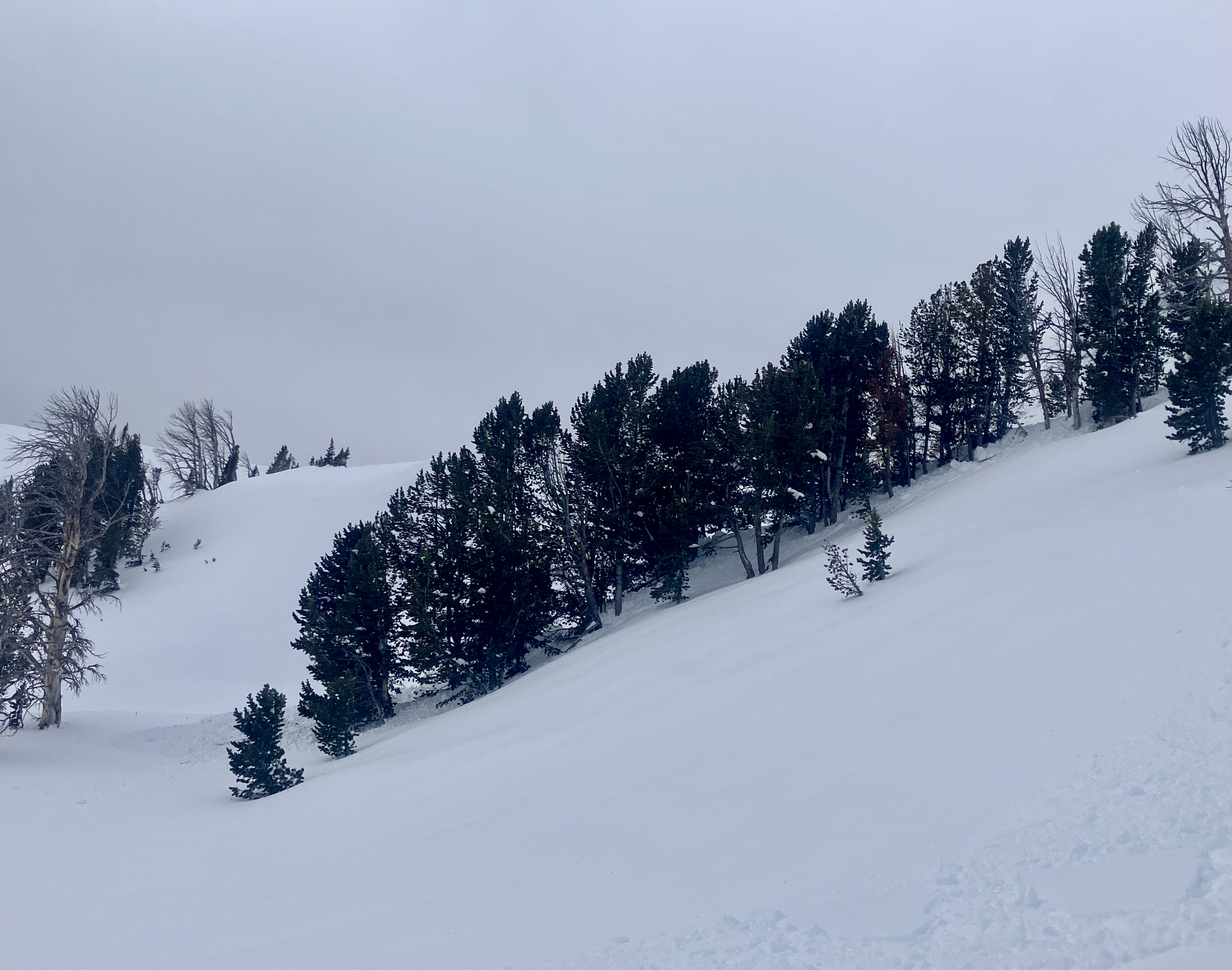
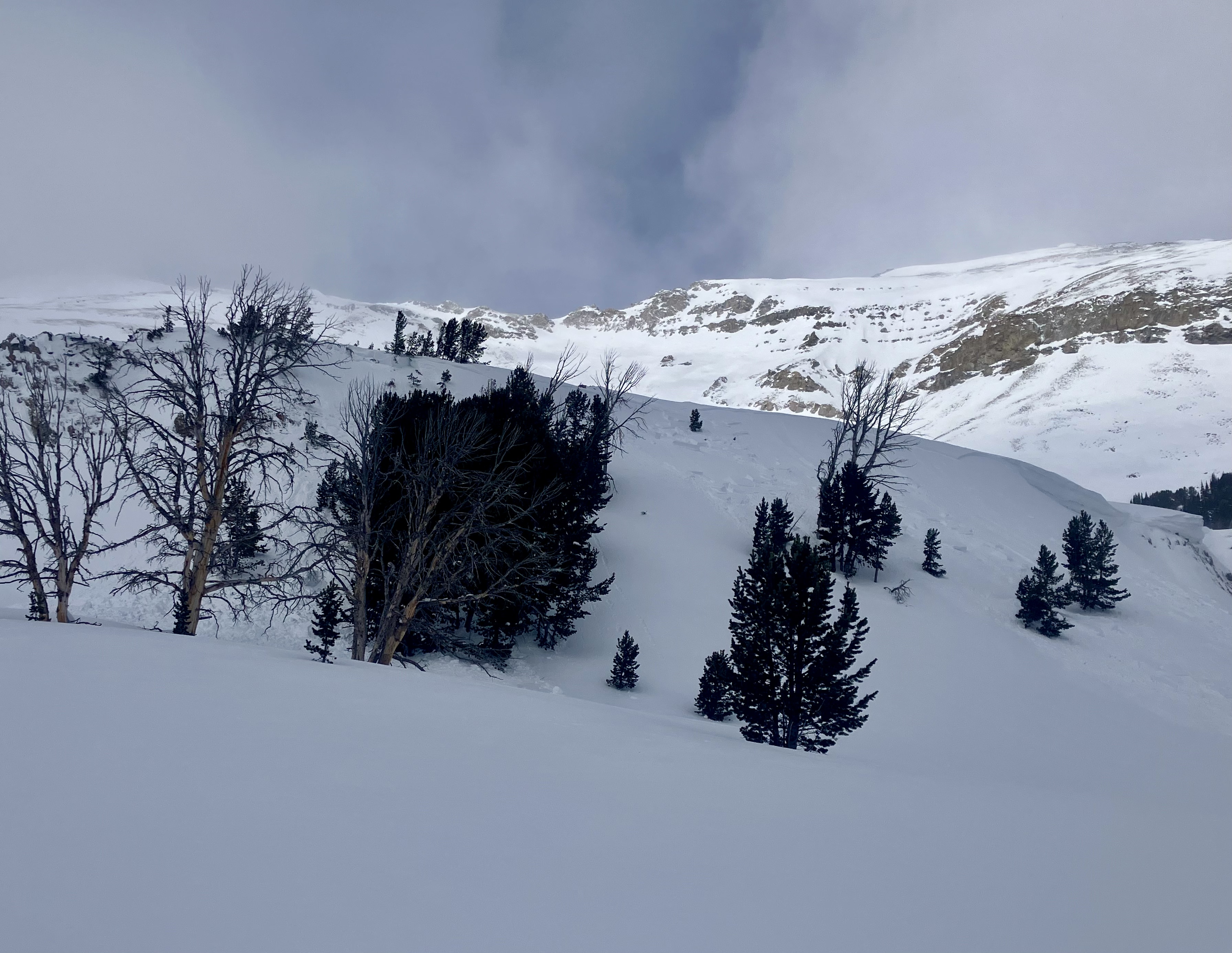
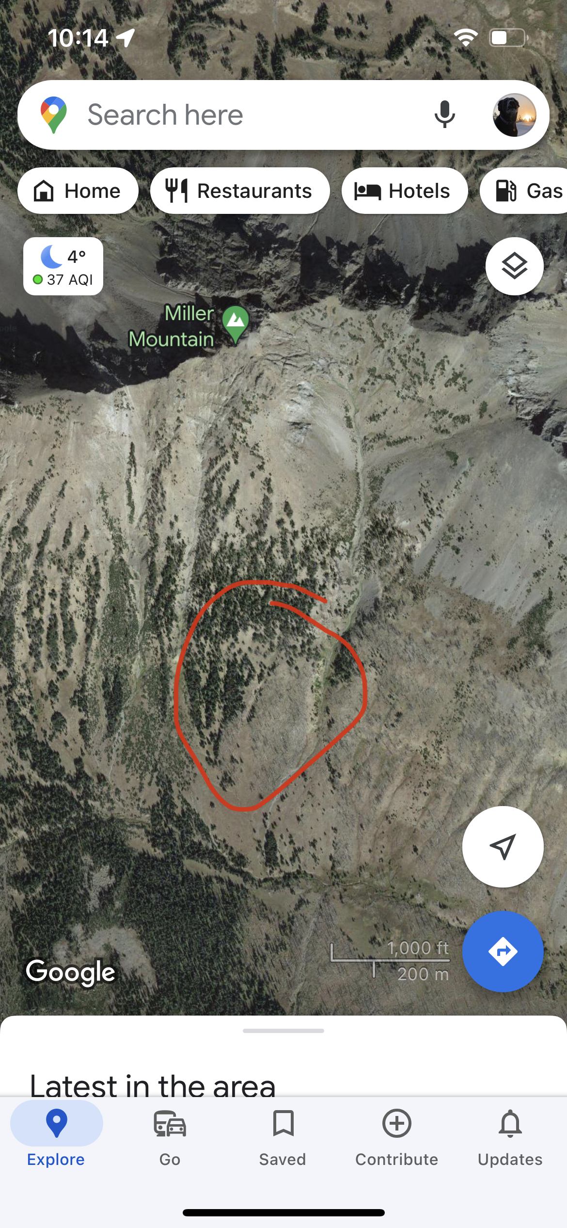
We were a group of 12 riders skiing the ghost trees up Sheep. We had a safe crossing of the bottom of the large avy slope (south west side of Miller) before skinning up the ghost slope.
There was 3 other parties, one group of 8, one of 2, and one of 3-4. A few whomps were heard/felt skiing without any propagation or slides on the slope we skied. We did see a few point release slides high up on Miller Ridge later in the afternoon, after the sun had been baking that slope all day.
The skiing in the Ghost trees was great! Even with all the people.
we did talk to the group of 3/4. Earlier in the day, they had skinned further up the drainage and climbed up a west facing rib of Miller proper. On the first steeper slope while skinning up they experienced large snow settling and bailed.
we could see their tracks, and there actually was a different group that had climbed even higher and skied. We didn’t see any slide activity on the slope they skied.
On our skin out at 4:30 or so, we could feel the southwest facing snow was definitely sun affected from the solar bake.
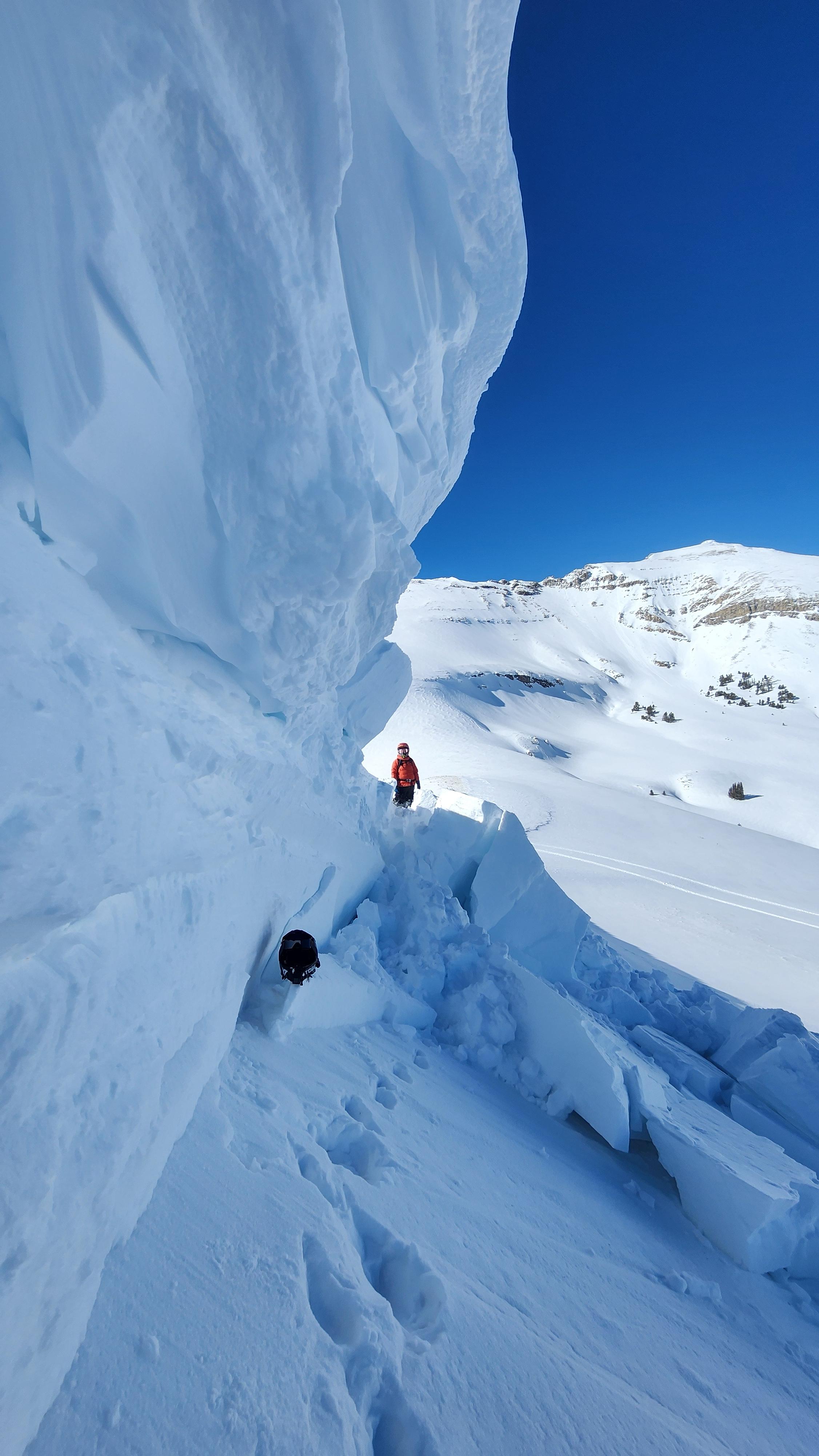
Lots of natural activity up buck ridge. The one photoed looked like it popped off this morning. Most activity we saw seemed to be on northern facing aspects
Full Snow Observation Report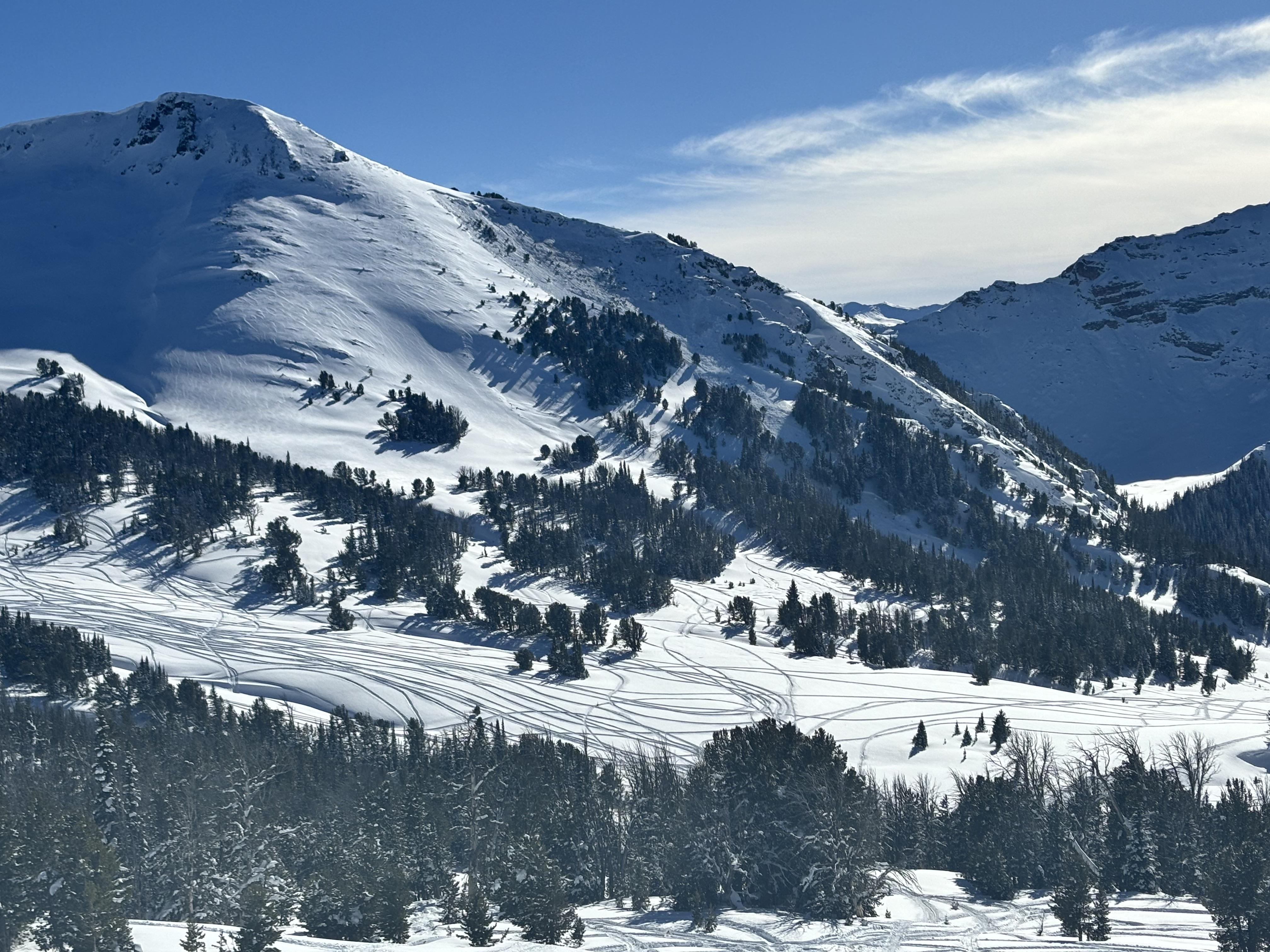
From BSSP on 2/17/24: "Midafternoon we received another report of a skier triggered avalanche in the Lone Lake Circe, specifically The Mullet. The reporting party contacted several ski patrollers via cell phone and confirmed that nobody was injured or had taken the full ride. This avalanche failed near the ground on a high elevation NW facing slope with the weight of a single skier with an estimated size of HS-ASu-R3-D2.5-O."
Full Snow Observation Report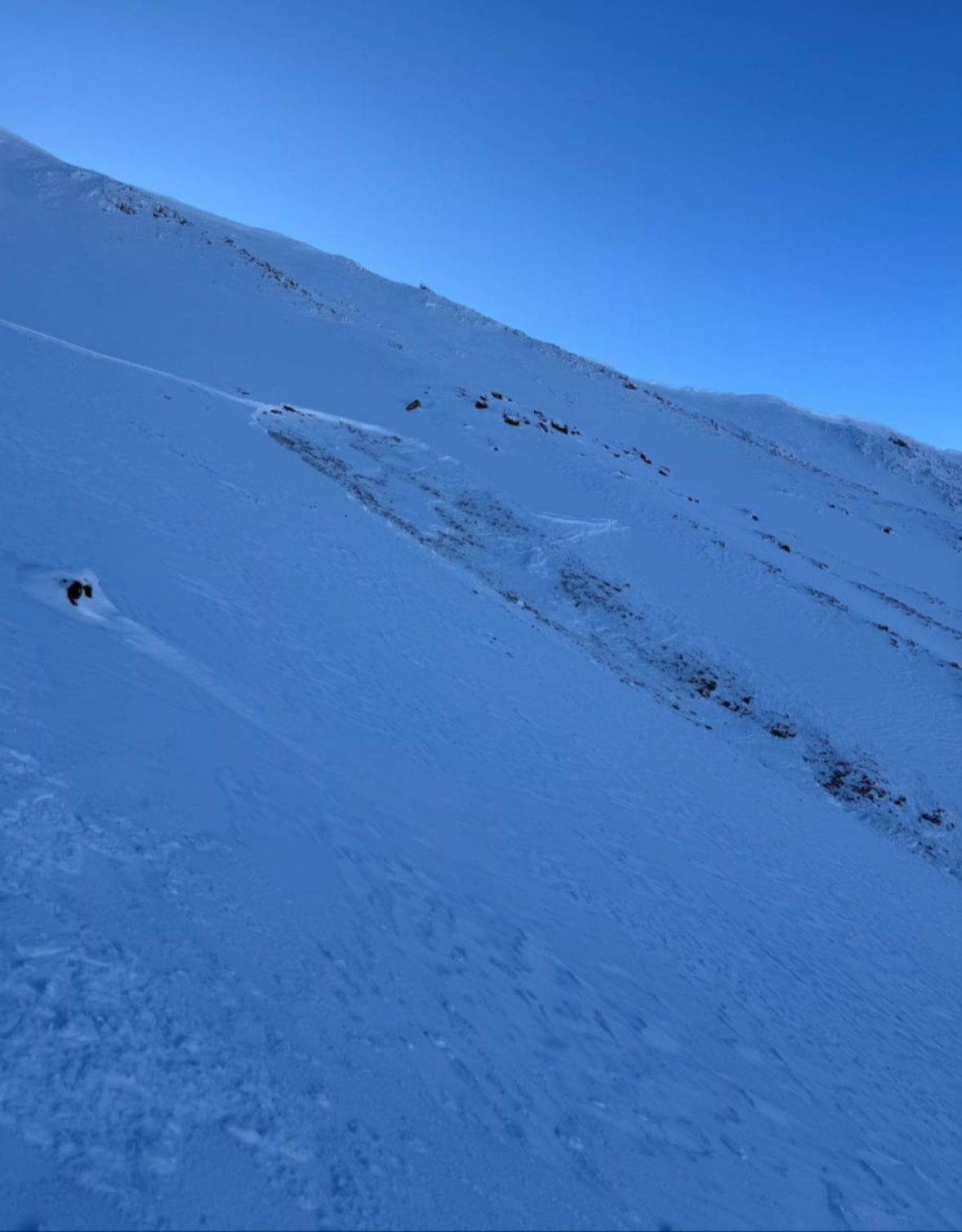
From FB 02/17/24: "Observed runout debris from a small avalanche on a south facing forested slope in Upper Tepee Basin. Shows avalanches can occur through forested areas."
Full Snow Observation Report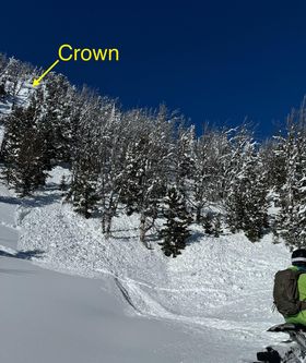
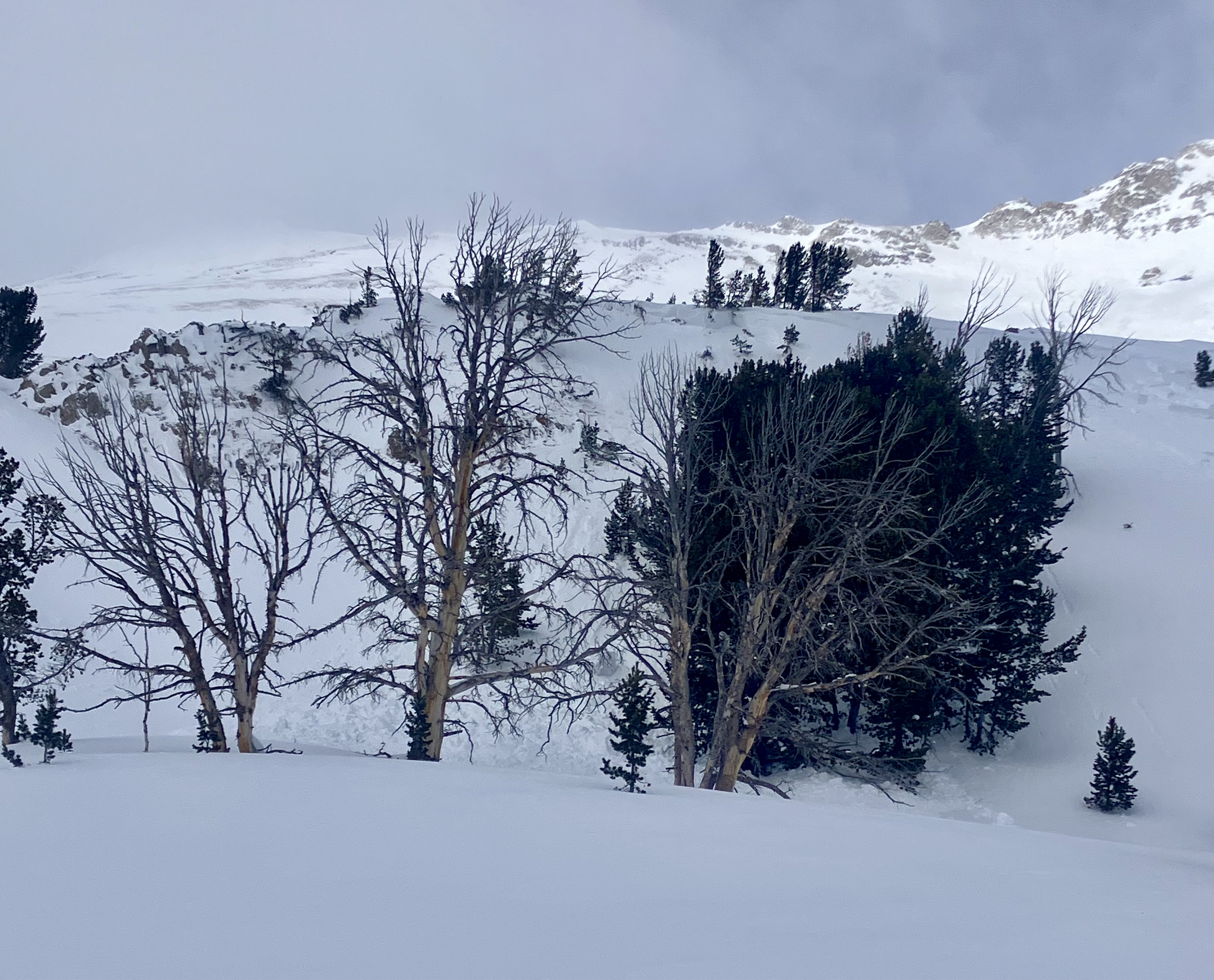
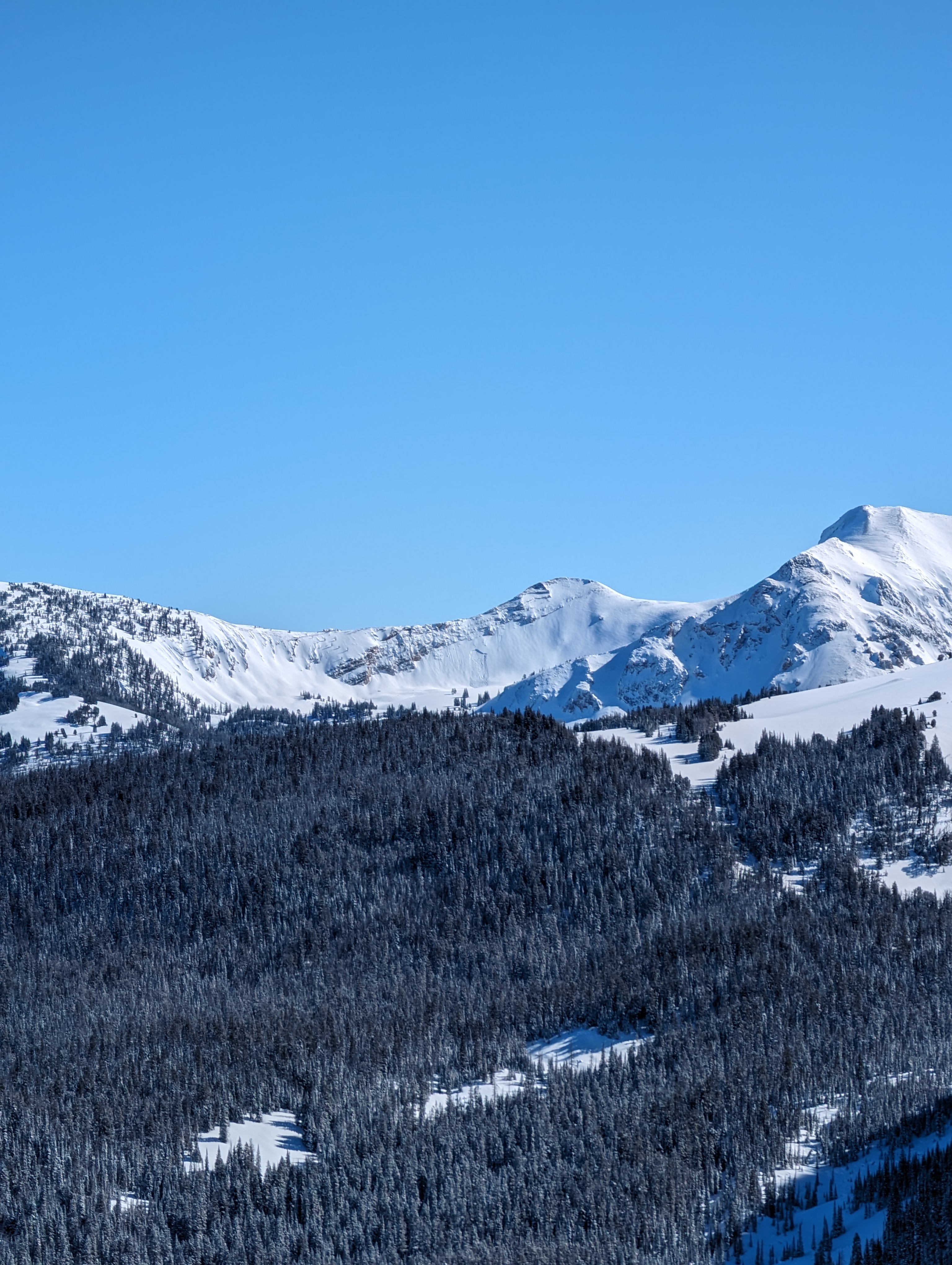
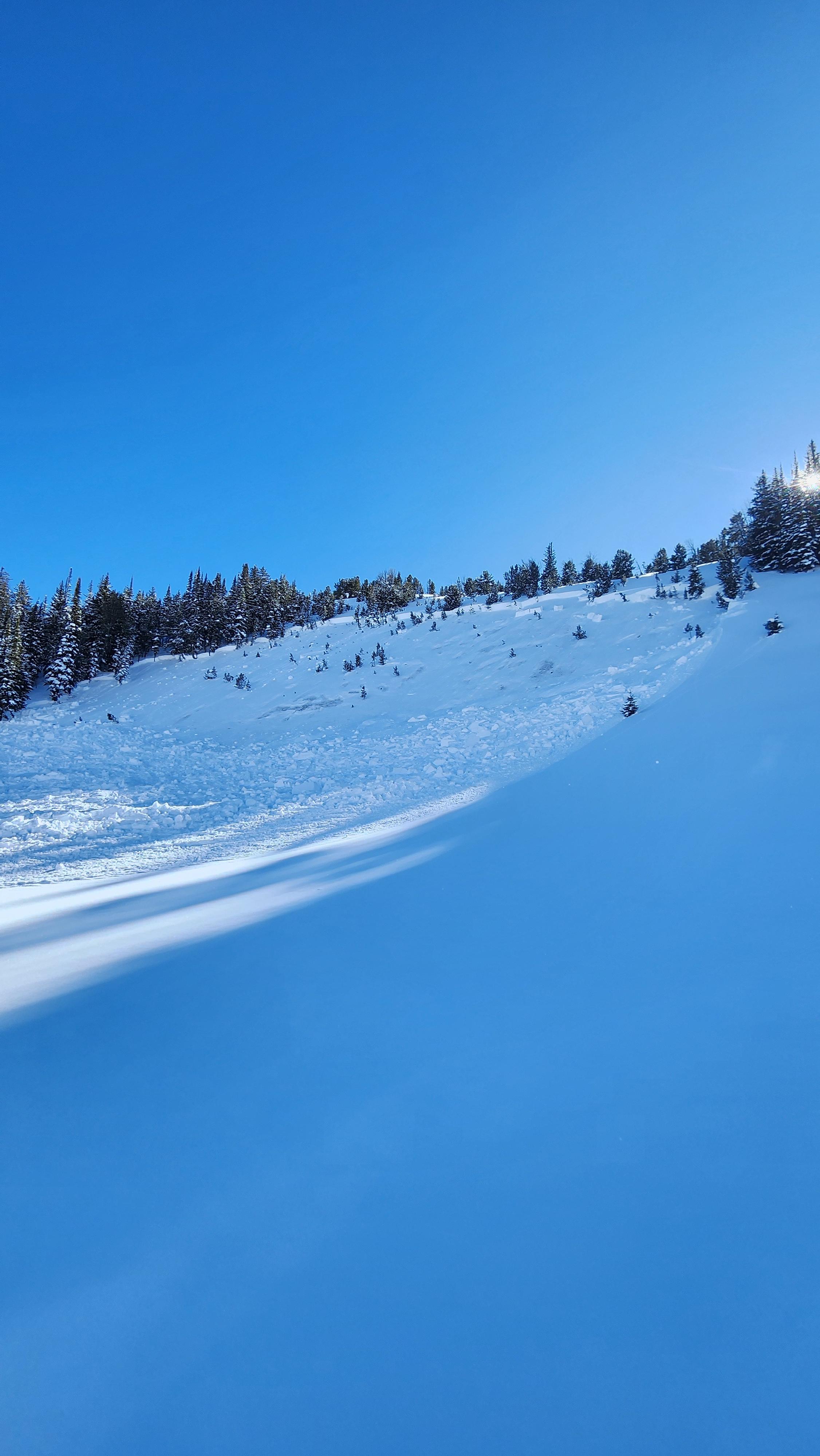
From email: "My partner and I toured up to the ridgeline overlooking Hebgen this morning, and I wanted to share our observations. With the exception of some light north winds while walking across the lake, winds were exceptionally calm the remainder of the day.
We noticed a multitude of slides on north- and east-facing slopes, many of which seemed to have been from the prior weekend. I snapped a picture of one on the opposite side of the drainage that was a couple of feet deep. Adjacent to it was some more debris.
We experienced no cracking/collapsing the entire day, which was honestly quite shocking. Given the exceptionally weak snowpack and recent avalanches, we stuck to the ridgeline and followed our uptrack down. Great turns regardless. "
Full Snow Observation Report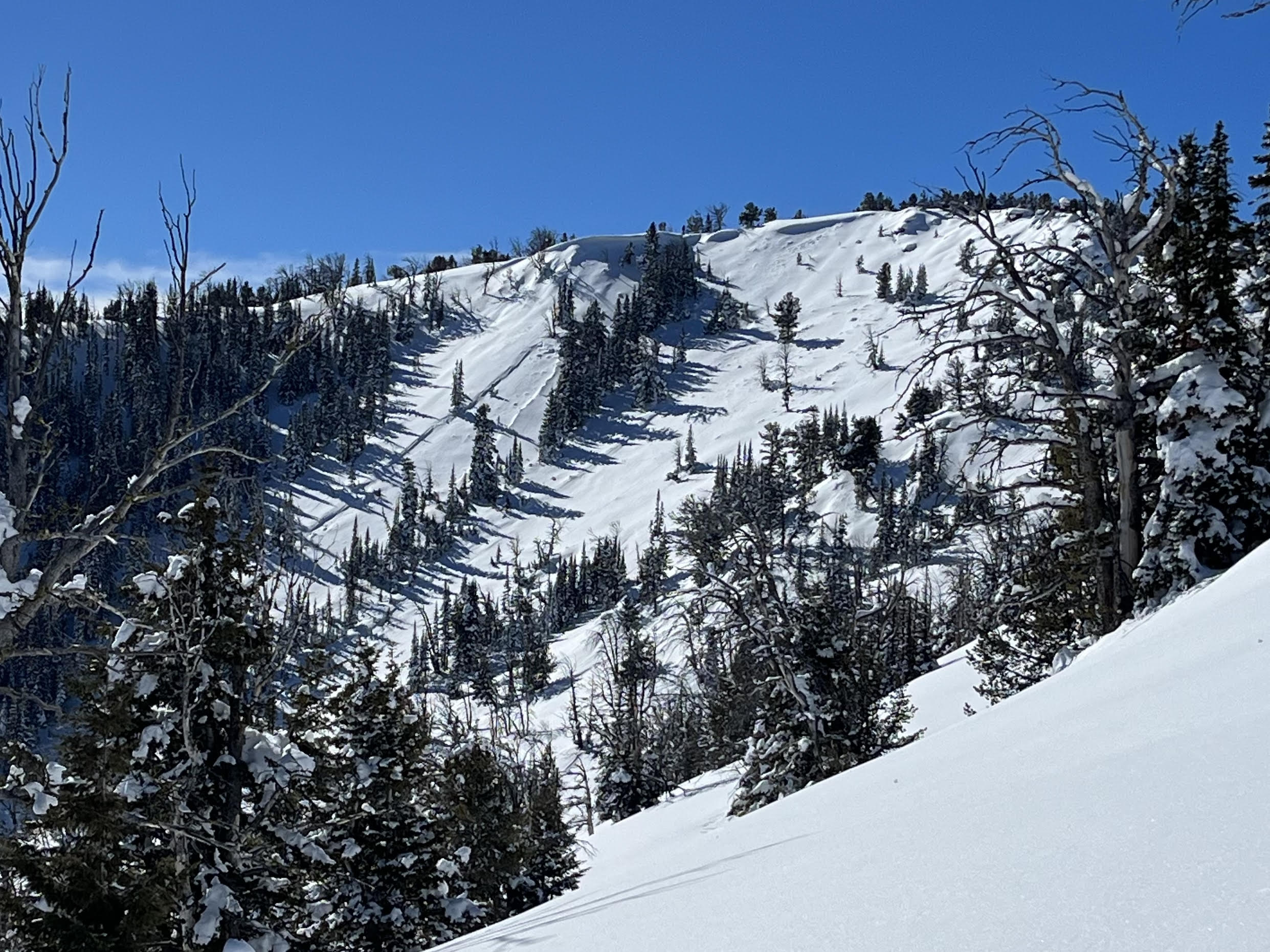
North facing slope partially treelined, not heavily windloaded. Rider triggered, Ran 100yards downhill with large debris through trees, broke 2-3' deep at the crown sliding on near earth facets. 1 rider partially caught, airbag deployed, self-extracted with no injuries.
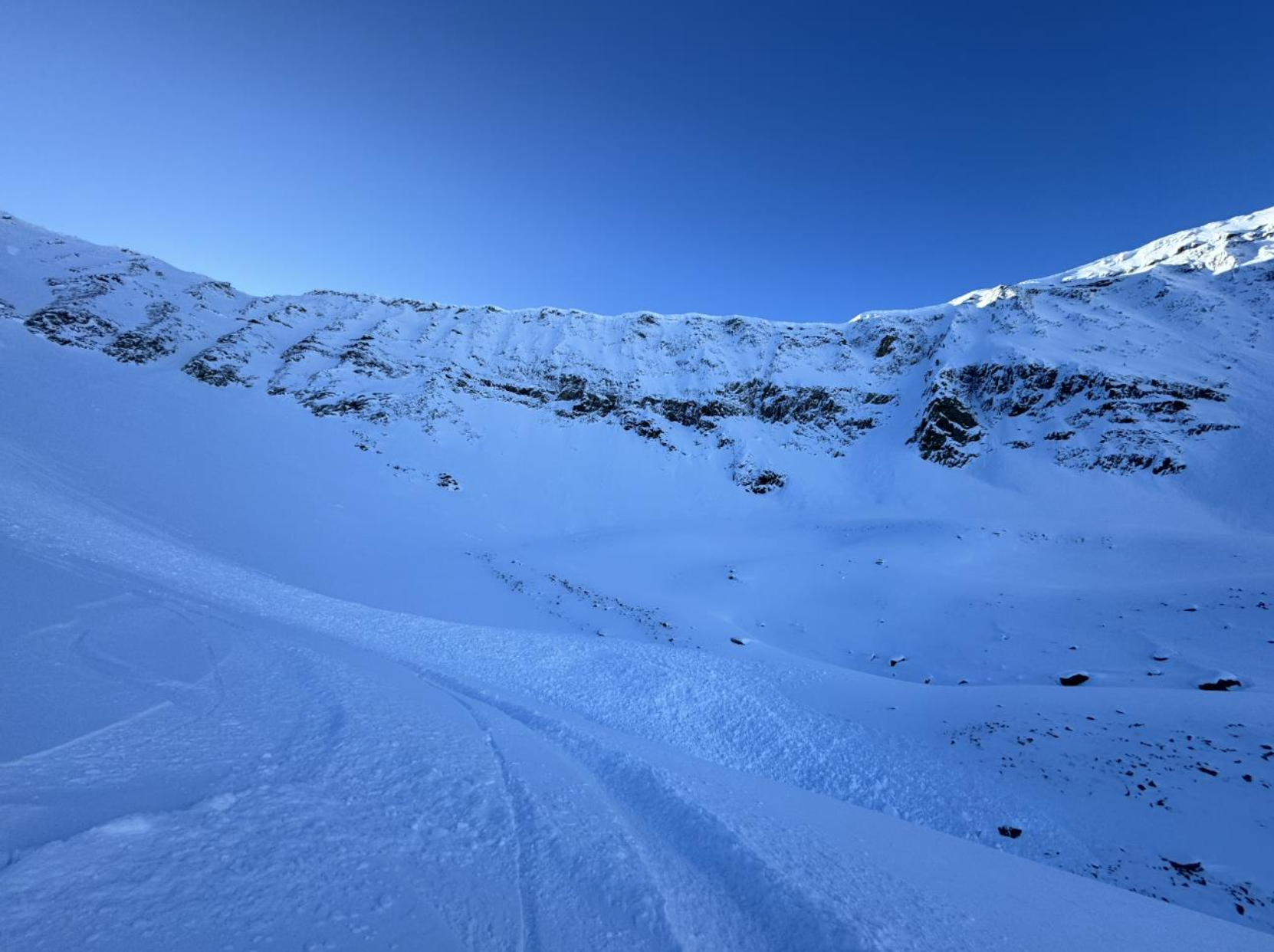
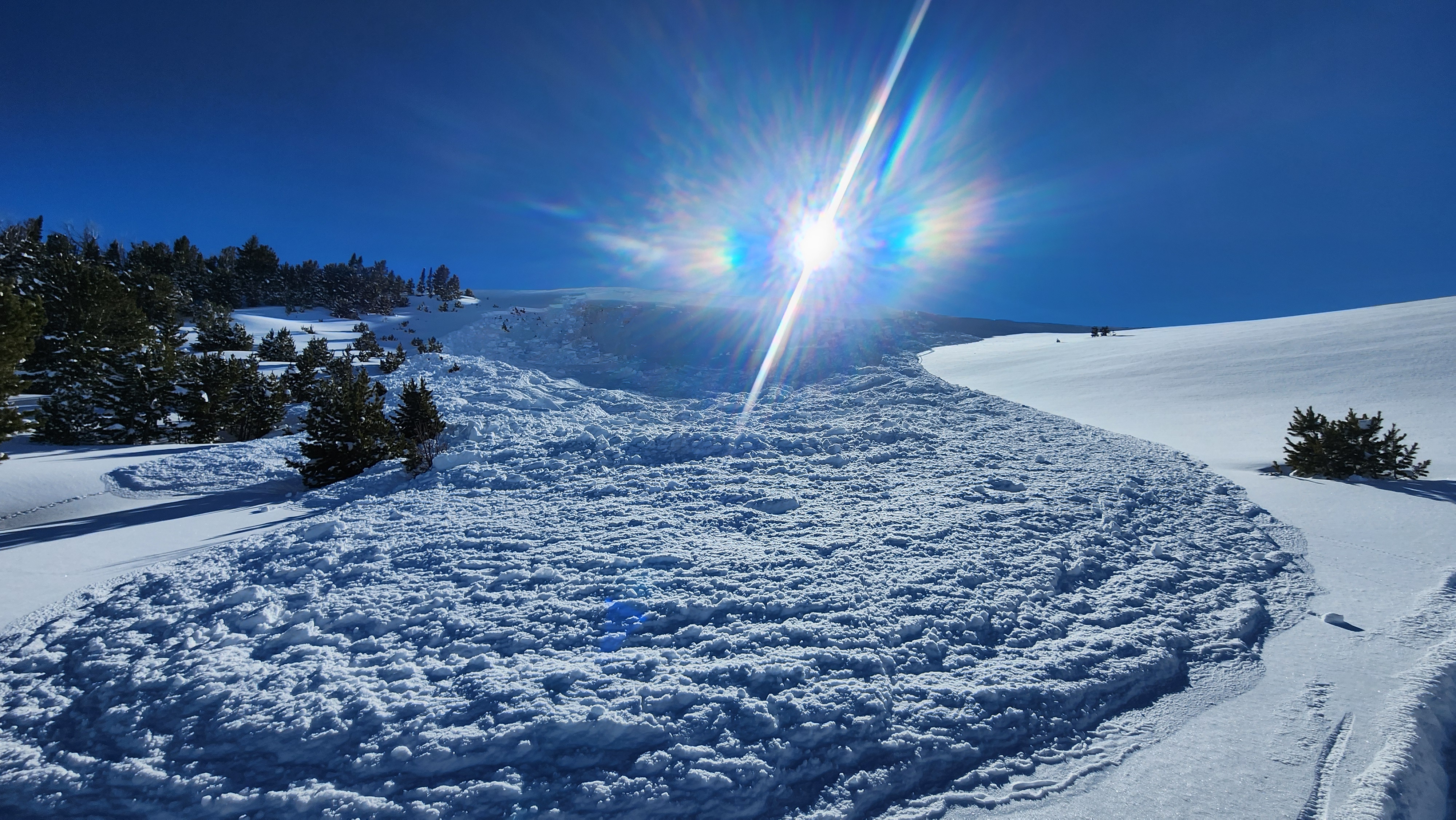
Full Snow Observation ReportFrom woody ridge, we observed a large avalanche across the republic creek drainage (not sure what the peak is called but see the coordinates). I heard it first since it sounded like thunder or a plane, and then saw a huge cloud of snow moving down the mountain across the drainage. We do not know if it was natural or triggered by someone.
We also observed large collapsing and whumpfing at the top of woody ridge on wind loaded slopes. Nothing moved as it was less than 30 degrees.
Full Snow Observation Report
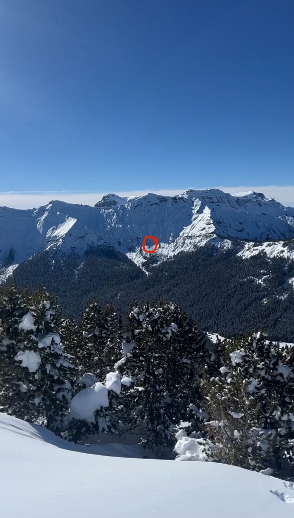
Bozeman Snow Rangers patrolled Taylor Fork, arriving to 120 rigs in the parking lot. Lots of people stoked for a Blue bird powder day. New storm snow seemed to total ~16 inches up high. We saw numerous recent slab avalanches, some large; and parties reporting widespread collapsing. We observed large natural avalanches from afar on the west side of Snowslide Mountain, and the east aspect of a peak south of Woodward Mountain. We observed these from a few miles away and were probably several feet deep and a few hundred feet wide. We observed another, probably rider triggered avalanche in Wapiti Creek that broke on old snow near the ground ~2 feet deep and ~60ft across.
Temps were ~10F. winds were calm. Sunny.
Full Snow Observation Report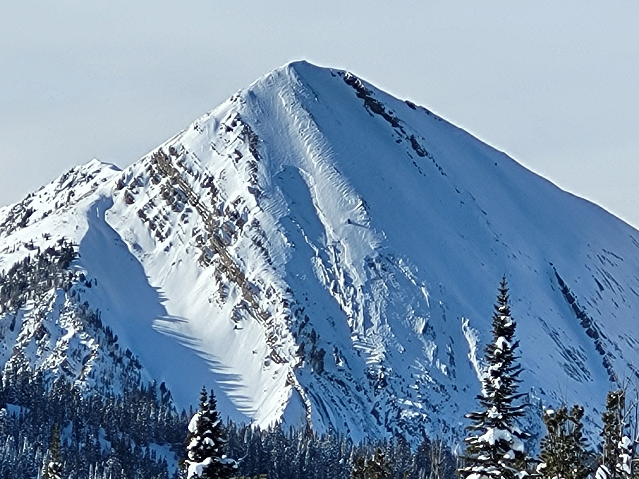

Some cracks but not shooting.
Slabs growing at top of Bradley’s meadow, around 15-25cm in thickness.
East winds did a number and grew slabs in non-typical locations.
Full Snow Observation Report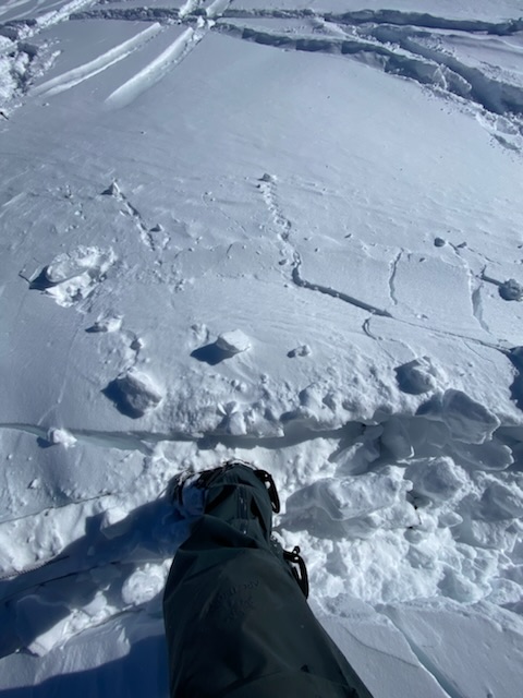
From IG 2/17: “Out on the cedar/ bear creek wilderness line. 12'x200' and probably 6'x400' on the one in the trees. Both remote triggered. We watched em both come down.”
Full Snow Observation Report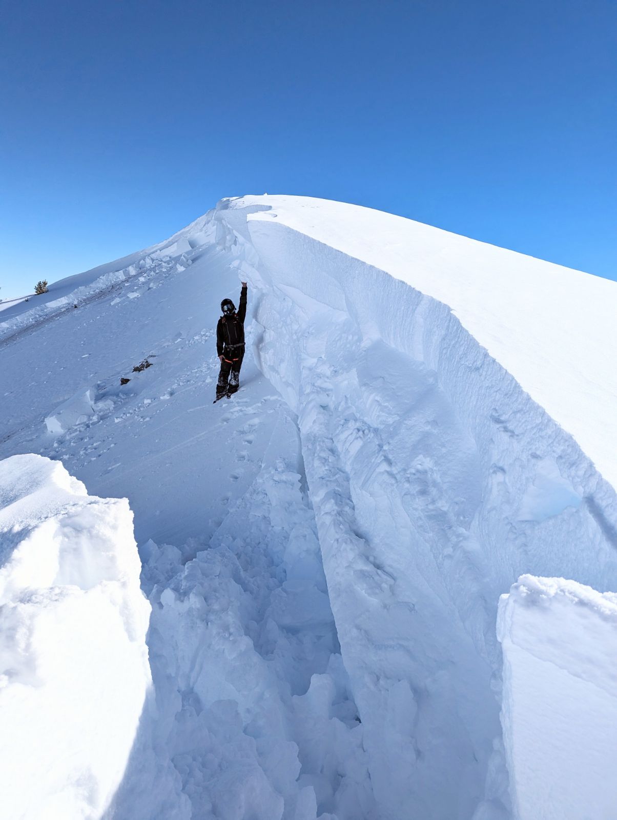
Saw small old wet slab slides on exposed south facing slopes, skied low angle ENE slopes, dug a pit and the snow was very stable
Full Snow Observation ReportProbably heard the largest whumph i ever personally heard while skiing near the ridge on the Burn at Sheep Creek. Other groups also reported hearing whumphs too.
while skinning out of sheep on a southern aspect we started seeing signs of warming with little pinwheels but none grew big and none were natural.
Full Snow Observation ReportVery different feeling from 1 week prior - no collapsing, no cracking, no recent avalanches. We stayed on conservative terrain but saw others venturing out a bit with no noticable activity.
Full Snow Observation ReportWe dug on southern at 9200 ft and got ECTN, however as we skinned up on the west side we noticed a little bit of whumphing and we noticed some collapsing while skiing small roll overs on the east aspect.
Full Snow Observation Report