Good morning. This is Ian Hoyer with pre-season avalanche, weather and event information for the Gallatin National Forest Avalanche Center on Monday, December 6th. This information is sponsored by Yellowstone Club Community Foundation and Montana State Parks. We will update this bulletin as needed with snowfall this week.
Saturday night into Sunday morning it snowed 1” in the Bridger Range, 2” near Big Sky, and 5” in Hyalite. The rest of the advisory area stayed dry. Winds are 15-25 mph out of the west with gusts up to 35 mph. Similar winds will continue today, likely increasing in strength Tuesday into Wednesday. Temperatures are in the single digits and low teens F this morning. Temperatures will be in the teens and 20s F through mid-week. Snowfall will begin this afternoon, favoring Cooke City. By the time the storm ends tomorrow morning, expect 6-8” around Cooke City and 2-4” elsewhere. Another round of snowfall is on tap for Wednesday.

All Regions
Strong west winds drifted this weekend’s new snow into cohesive slabs that broke in small avalanches. Yesterday, multiple small wind slab avalanches were triggered while climbers approached ice climbs in Hyalite (photo, photo). These drifts can still be triggered today. As more snow falls new drifts will form and the number of places you can trigger a slide will increase. These drifts of new snow are the primary concern today and through this next storm. Carefully assess the snowpack and consider the consequences of a slide before exposing yourself to steep, recently wind-loaded slopes. Cracks shooting out in front of you are bullseye data that you’ve found an unstable drift.
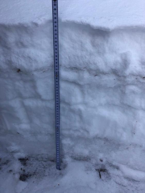
On higher elevation shady slopes a 1-2 ft deep layered snowpack has developed. On Saturday, as Dave and Alex put up the Flanders Mt. Weather Station in Hyalite, they started out on dirt at the trailhead but up high they found several feet of snow including weak layers that broke in stability tests (video). We have received reports of these weak layers across the advisory area (Bridgers 1, Bridgers 2, video from Cooke City) and in nearby ranges (photo of snowpack on Emigrant, photo 2). As more new snow piles up, avalanches will start breaking on these weak layers. Dig down and search for these weak layers on any slope with continuous snow cover.
We appreciate all the observations we have already received this season. You are helping us develop a more complete understanding of this season’s snowpack! Please submit observations here.
If you have avalanche, snowpack or weather observations to share please submit them via our website, email (mtavalanche@gmail.com), phone (406-587-6984), or Instagram (#gnfacobs).
Upcoming Education Opportunities:
Get your avalanche brain ready for the season at one of the many classes listed on our education calendar, and list of upcoming events below. Don’t delay preparing and inspecting your avalanche gear. Get some tips from Dave Zinn in this Pre-Season gear check video.
December 8, 7-8 pm, Online Free 1 hr Avalanche Awareness in partnership with OnX maps. Link to Join Here.
Our popular Avalanche Fundamentals with Field Course is perfect as a refresher or an introduction to avalanches. We are introducing an exciting new format this year with the four lectures pre-recorded to watch at your convenience, a live question and answer session, and a choice of a snowmobile or ski/ board based field day occurring the following three weekends.
Friends of GNFAC Powder Blast Fund-raiser
The Friends of the Avalanche Center are hosting the Virtual Powder Blast fundraiser. With only $4,000 left to go, help us reach the $65,000 goal. Your donations support free and low-cost avalanche education, beacon checkers at trailheads, beacon parks, weather stations, and GNFAC programs!
Doug was interviewed by Justin Angle for Montana Public Radio about his background, avalanches, and his work in Central Asia. You can listen to the interview HERE.